🚚 Free Worldwide Shipping on All Orders!Shop Now

1 / 3
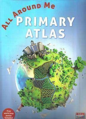
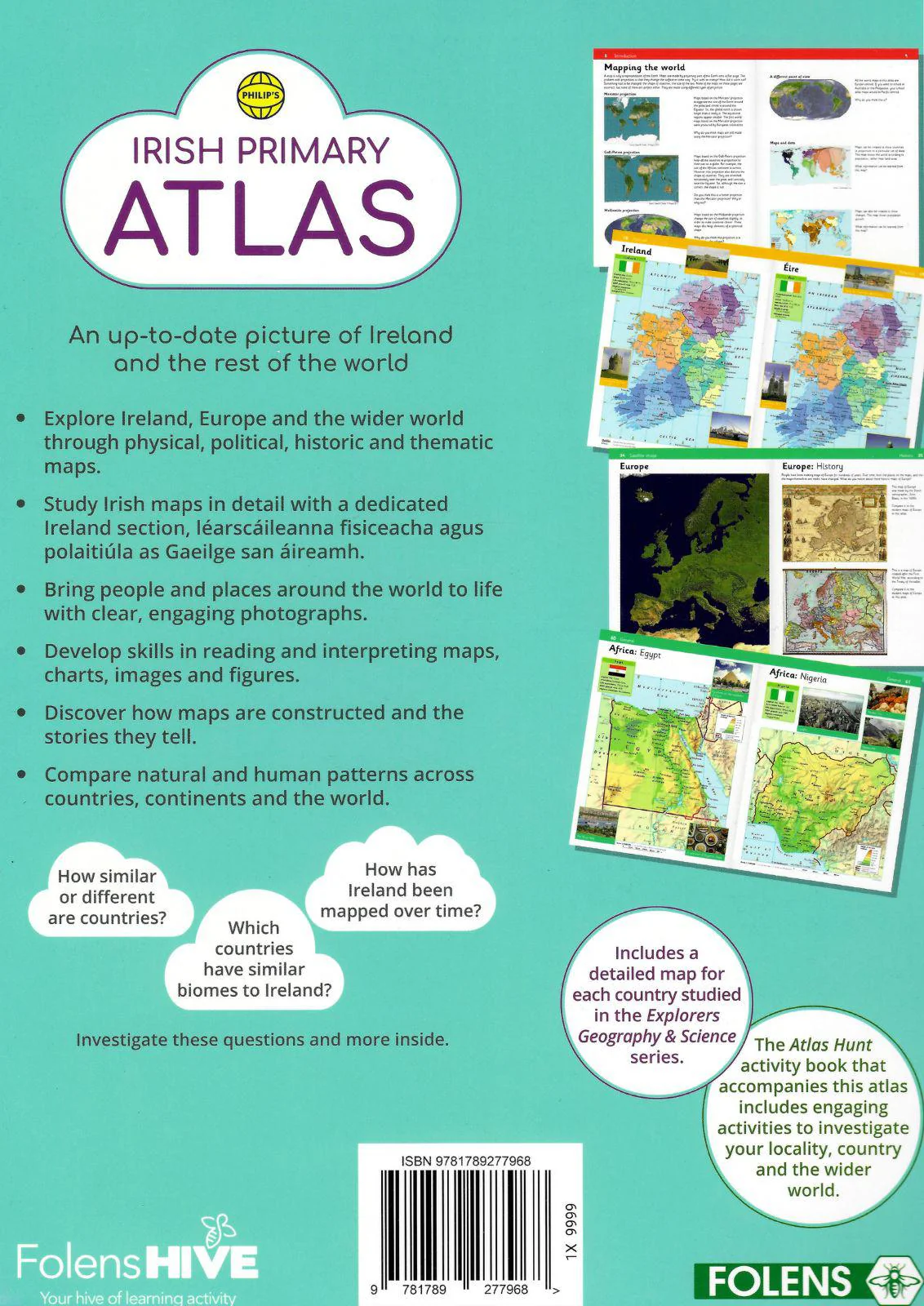
Edco Primary Atlas
The most up-to-date atlas available for the Irish primary educational market in terms of mapping, census of population and other data that change over time.
- Suitable for all levels of primary school
- Children are actively encouraged to learn about the world around them
- Challenges pupils to undertake engaging exercises unlike other atlases on the market
- Divided into sections for ease of use
- How Atlases work
- Introduction to mapping
- Irish section
- European mapping
- Other continents
- World themes and maps
- Extensive use of colour photography to encourage pupil learning
- Stimulating and absorbing content, including: flags, populations and much more current data for all of the worlds countries
- Historical maps of Ireland, which encourage pupils to do their own research and projects
- An introduction to the Ordnance Survey Ireland (OSi) including the evolution of OSi mapping, from hard-copy through to the digital age
- Fully supported by the Central Statistics Office (CSO) with all statistical updates available from SAPMAPS (www.census.cso.ie/sapmap)
- The ecological footprint is approached covering the most current model for linking peoples consumption, lifestyle and environmental sustainability
$4.68
Original: $15.59
-70%Edco Primary Atlas—
$15.59
$4.68Description
The most up-to-date atlas available for the Irish primary educational market in terms of mapping, census of population and other data that change over time.
- Suitable for all levels of primary school
- Children are actively encouraged to learn about the world around them
- Challenges pupils to undertake engaging exercises unlike other atlases on the market
- Divided into sections for ease of use
- How Atlases work
- Introduction to mapping
- Irish section
- European mapping
- Other continents
- World themes and maps
- Extensive use of colour photography to encourage pupil learning
- Stimulating and absorbing content, including: flags, populations and much more current data for all of the worlds countries
- Historical maps of Ireland, which encourage pupils to do their own research and projects
- An introduction to the Ordnance Survey Ireland (OSi) including the evolution of OSi mapping, from hard-copy through to the digital age
- Fully supported by the Central Statistics Office (CSO) with all statistical updates available from SAPMAPS (www.census.cso.ie/sapmap)
- The ecological footprint is approached covering the most current model for linking peoples consumption, lifestyle and environmental sustainability