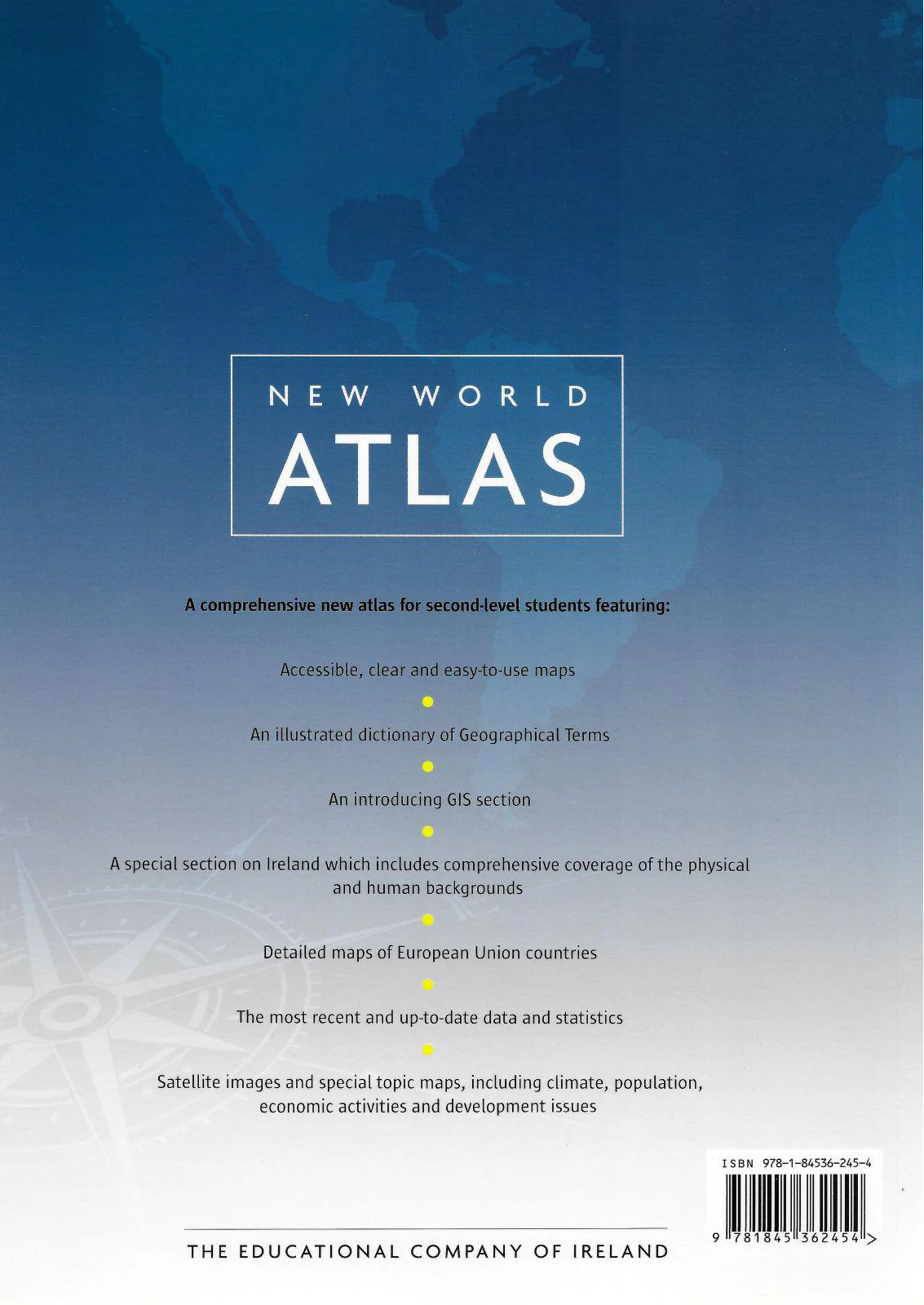
■ Fallons Oxford School Atlas - New Edition (2013)
A new atlas for children in Irish Primary Schools with up-to-date mapping of Ireland, Europe and the world. It includes a specially-commissioned eighteen page section devoted to maps of Ireland, presented in Irish and English on opposite pages:
counties and towns , provinces , mountains, rivers and lakes , islands, inlets, bays and headlands , composite physical features ,Ordnance Survey maps (urban and rural).
Other features include:
- Individual maps of England, Wales, Scotland, European Union, Europe, Spain and Portugal, France and Italy
- Separate political and physical maps of all continents
- Individual maps of Canada and the USA
- Separate sections on atlas literacy and atlas numeracy
- Indexes of place names, up-to-date country statistics and flags of the world.
Description
A new atlas for children in Irish Primary Schools with up-to-date mapping of Ireland, Europe and the world. It includes a specially-commissioned eighteen page section devoted to maps of Ireland, presented in Irish and English on opposite pages:
counties and towns , provinces , mountains, rivers and lakes , islands, inlets, bays and headlands , composite physical features ,Ordnance Survey maps (urban and rural).
Other features include:
- Individual maps of England, Wales, Scotland, European Union, Europe, Spain and Portugal, France and Italy
- Separate political and physical maps of all continents
- Individual maps of Canada and the USA
- Separate sections on atlas literacy and atlas numeracy
- Indexes of place names, up-to-date country statistics and flags of the world.